


Local services rise or fail on the accuracy of place-based identity.
Addresses, property identifiers, and coordinates dictate where crews go, which households qualify for help, and how resources are allocated.
A single mistyped flat number or postcode can result in missed appointments, duplicate letters, and inaccurate reporting.
Quiet discipline in getting locations right, once, consistently, everywhere, enables the system to function effectively.
Behind the scenes, record linkage and address cleaning prevent minor inconsistencies from snowballing.
This is where deduplication engines come in.
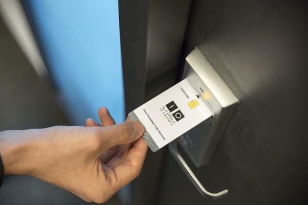
Mid-process reconciliation, such as the capabilities described at egon.com, helps align names, organisations, and addresses so that each person or place is represented accurately and only once.
Why Local Identification Drives Service Reliability
Proper local identifiers open the door to reliable operations.
A Unique Property Reference Number (UPRN) is assigned to each addressable location in Great Britain, serving as a unique identifier for that location.
It spans properties, care facilities, and utility assets, so datasets link unambiguously.
This consistency transforms planning systems, casework management, and field scheduling into a coherent overall depiction.
It’s not separate pictures, but unified views of identical locations.
Accurate targeting is also essential at the point of capture. The Royal Mail Postcode Address File PAF is the national address benchmark that reduces undeliverable mail rates.
It trims costly returns and friction by validating entries and completing addresses.
The Hidden Work of Deduplication and Record Linkage
Duplicates arise for common reasons, including multiple touchpoints, varying spellings, or legacy imports, as well as partial records.
Left alone, their volume inflates staff-routing efficiency, undercutting insight.
Deduplication routines standardise key fields and use fuzzy matching to ensure that very similar records are identified.
Records are merged while preserving a single, trusted record for each entity. That reliability ensures low operational noise and better fidelity of reporting downstream.
Practical tools enable teams to calibrate rules for matches, using varied inputs from multiple sources effectively.
Personal names, company names, VAT numbers, and postal addresses are levers. Once records have been consolidated, it’s easy to attach authoritative key metadata, such as the UPRN.
These links are maintained as circumstances change over time.
How Geocoding Turns Text Into Action
Geocoding translates an address into accurate coordinates, enabling routing and catchment analysis; it’s a reliable process.
It also allows site analytics to work with geometry, rather than relying on guesswork.
With clean input data, geocoding enables doorstep navigation and uniform spatial joins, which reduce waste in travel time and in rework in the field.
Even simple interpolation methods benefit significantly when addresses are normalised properly and checked thoroughly before use.
It’s because matching to the correct street segment becomes more reliable.
The Map Beneath Every Decision
Correct local identification is infrastructure. Services become faster, fairer, and easier to govern when addresses are verified.
They’re patterned, deduplicated, and anchored to trusted identifiers.
The practice is deliberately invisible, and problems fail to appear, yet it underpins routine services and operational preparedness.
It’s behind everything from missed bin collections to daily emergency response readiness.


Recent Comments