


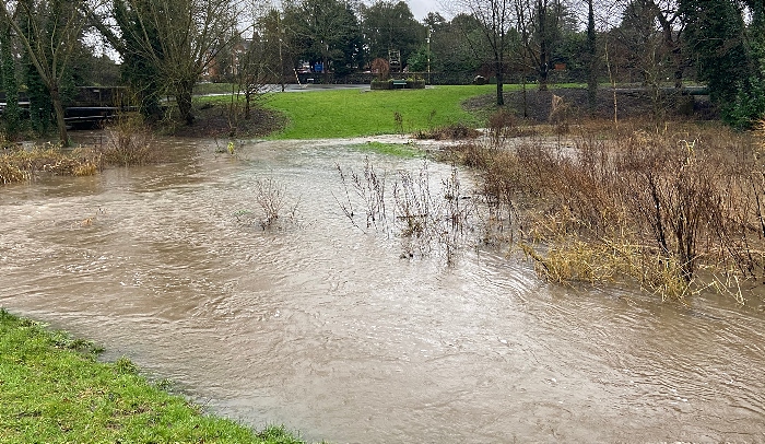
Storm Christoph threw plenty at South Cheshire over the past 24 hours as the area woke to flooding and road closures.
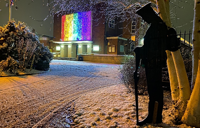
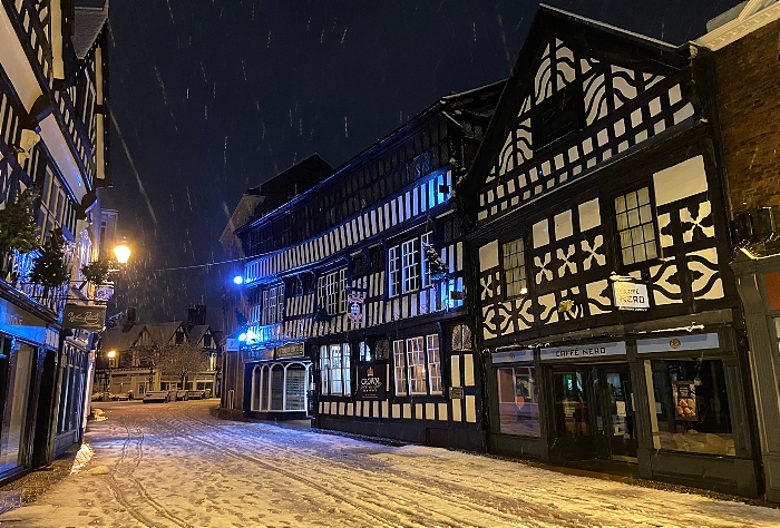
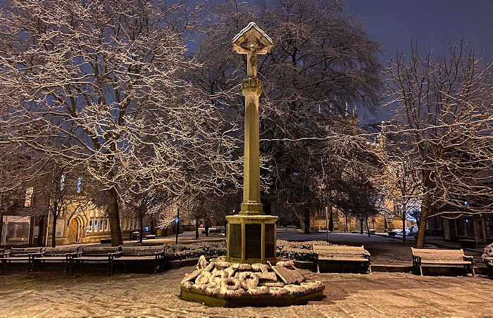
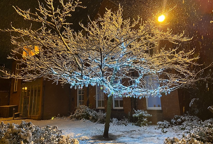
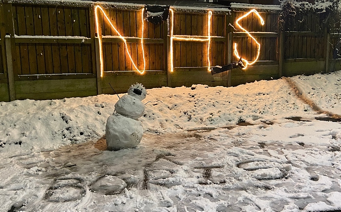
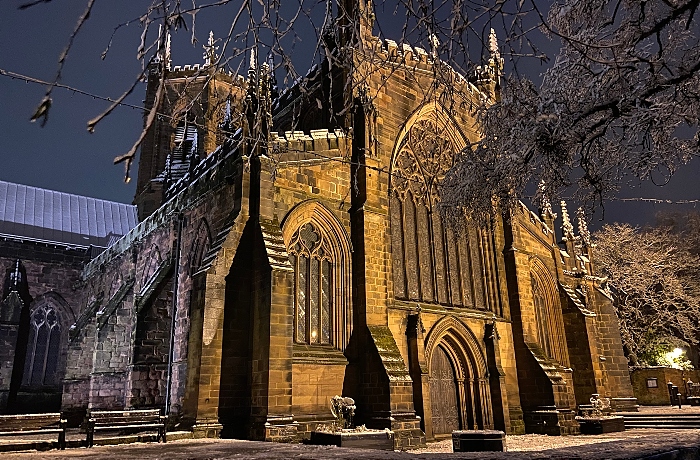
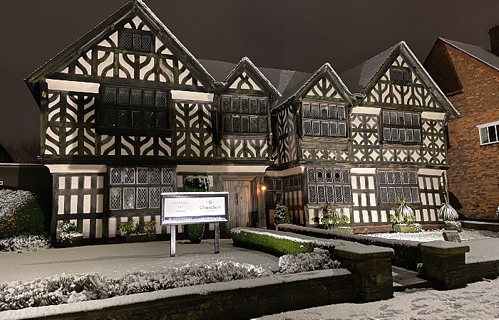
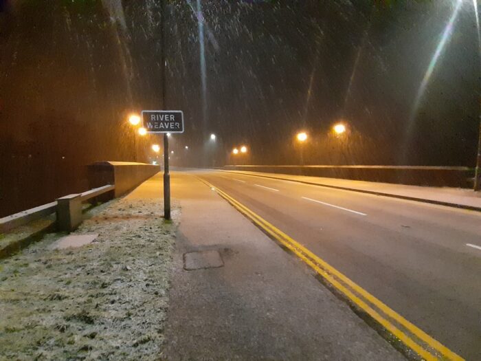
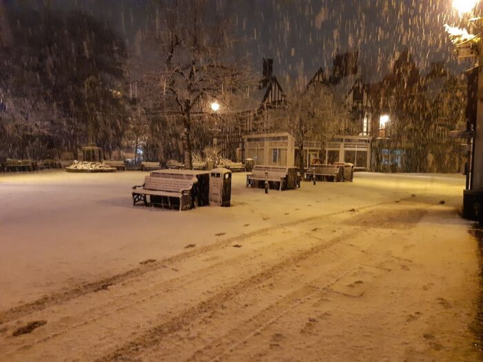
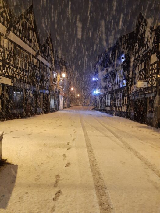
Heavy rain turned to heavy snow last night, leaving much of the region under a blanket of the white stuff when residents woke today.
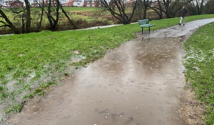
Although these images sent in by Nantwich News readers look picturesque, there are fears that snow melt will just increase flooding issues.
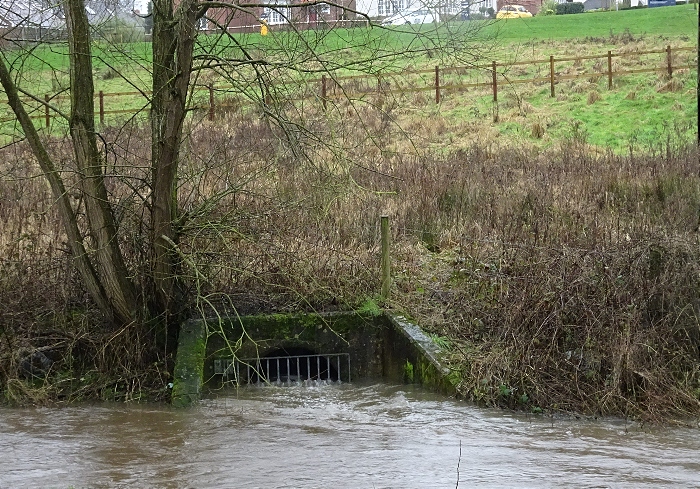
Rivers and local brooks and streams have burst their banks at various points.
A number of roads were closed overnight, and some still shut this morning, due to flooding.
The busy A51 Nantwich Road at Alpraham has just re-opened after an overnight closure, Cheshire East Highways has confirmed.
Other routes affected were Newcastle Road in Willaston, Long Lane in Spurstow, Wrine Hill Road in Wybunbury, Cholmondeley Road in Wrenbury, Wrenbury Frith, A49 Whitchurch Road at Tarporley, and Wettenhall Road in Cholmondeston at the railway bridge just after Venetian Marina.
Cheshire East Highways are updating the road closures and re-openings throughout the day on its twitter feed, @CECHighways
There 179 Flood Warnings in place across the UK, including several along the River Weaver in Nantwich at Shrewbridge Lodge, Lakeside View, Nantwich Riverside and throughout the stretch of river through the town by Welsh Road and Waterlode.
Also for the Weaver in Northwich and Acton Bridge areas.
For more details visit here.
(Images courtesy of Jonathan White and other readers)


I remember some time in the late 1990,s the lake flooding over the road and going up towards the houses opposite the lake. Anyone else remember that?
Yeah, the river is basically unpassable for most of its length running through the town. Up at the lake end the path running next to it is under water, mill island is entirely under water, behind the swimming baths the bench is under water and the 2 footpaths under the road bridge are totally flooded, the bridge behind the baths in 90% under water and the lower footpath is also totally submerged with the water a good 3 foot up the bank, the path is also submerged about midway between the bridges at the baths & manor road and going up to Reasheath end to path is a good foot underwater for about 600 metres. I turned 40 in December and I’ve never seen the river as bad as it is right now.