


A new exhibition called ‘Cholera and the Mapping of Nantwich’ has opened at Nantwich Museum.
The exhibition, by Keith Lawrence, is running in the Your Space Gallery at Nantwich Museum until Saturday October 29.
In 1849, Nantwich was essentially a medieval town set in the Victorian Age.
There was no piped water for domestic use and sewage flowed in a network of open channels draining to the River Weaver.
The cholera epidemic of that year triggered investment in the town to upgrade services that we now take for granted.
To lay water and sewage pipes, an accurate map was needed identifying sewage channels, open septic tanks, wells and pumps so they could be captured in the improvement scheme.
The exhibition outlines how the cholera epidemic led to substantial improvements to environmental health in the town.
At the request of the newly convened Nantwich Local Health Board between May and June 1851, Captain Andrew Beatty prepared a hand drawn and coloured map of the town with a large scale of 10ft to the mile.
The detail was unprecedented for Nantwich with each coal bunker, carriage house, brew house and garden being represented in detail.
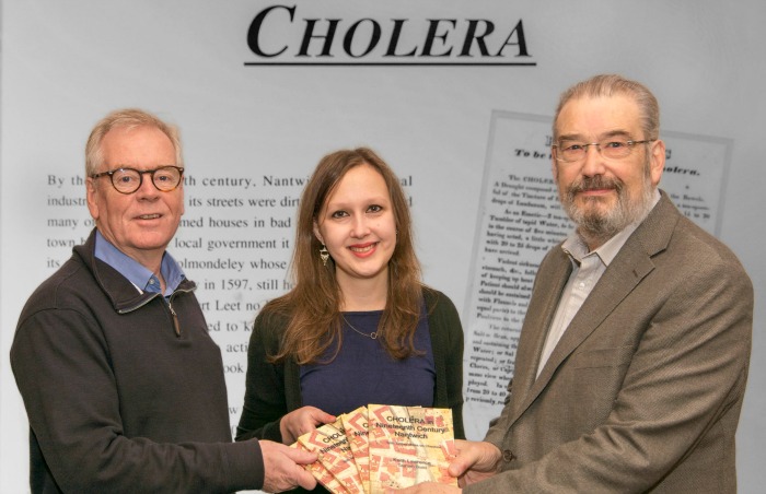
A book, ‘Cholera in Nineteenth Century Nantwich’ detailing the cholera epidemic of 1849, is available from the museum shop.
Admission to the museum and exhibition is free.
Contact Nantwich Museum on [email protected], call 01270 627104, visit www.nantwichmuseum.org.uk


Recent Comments