


A large 660-home estate, together with 60-bed care home and local centre including shops is proposed for land at Wistaston, writes Belinda Ryan.
An environmental impact assessment (EIA) scoping report from planning agent Turley, states applicant Hawthorn Estates Investments intends to submit an outline application to Cheshire East Council for the scheme on land off Wistaston Green Road.
The proposal also includes public open space, landscaping and associated infrastructure.
The report states: “Construction is anticipated to commence on site in 2026, subject to gaining planning permission.
“The proposed development will be delivered in a phased manner and, whilst subject to market demand, final completion and occupation is anticipated in 2030.”
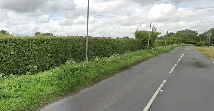
The site is bound by Wistaston Green Road to the north/northeast; a woodland belt and Wistaston Green Brook to the east/southeast; residential development associated with land northwest of Church Lane to the southeast and agricultural land south and west.
The proposed development will provide up to 660 residential dwellings across the site and a care home/later living accommodation with up to 60 beds.
There will also be a small local centre with retail units, landscaping and ecological enhancements together with public open space.
Vehicular access will be from a roundabout on Wistaston Green Road located at the north eastern border of the site.
The report says: “This will connect to the internal road network of secondary and tertiary roads that will lead to the proposed dwellings and local centre.
“There will also be the potential for a separate emergency access on Wistaston Green Road to the south-east of the primary access.
“This will also serve the site as a new pedestrian and cycle link to Wistaston Green Road.
“Roads will provide access for residents, visitors, deliveries, service and emergency vehicles.”
The proposed development will also incorporate new pedestrian and cycle accesses and routes which will provide connections between the development parcels.
(Image by Google Maps)


Recent Comments